
Hidden Stavanger: What Most Visitors Walk Straight Past
Last verified August 2026
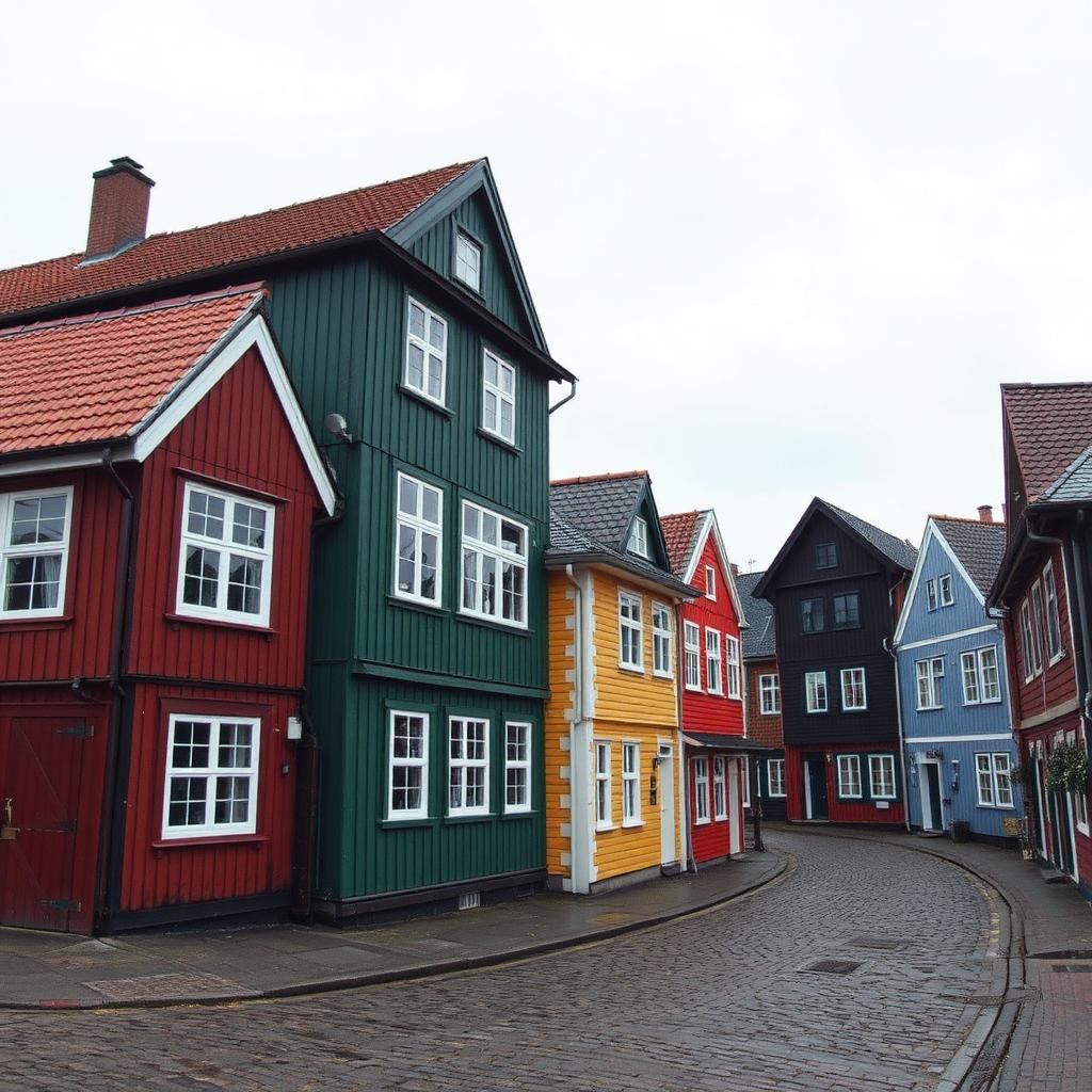
Stavanger rewards the visitors who slow down. It's one of the most walkable cities in Europe — human-scaled streets, short distances, almost everything within reach of the harbour — and yet most people see three things, photograph one street, and head back to the ship.
I guide here year-round. These are the layers most visitors miss — and the stories that make them worth finding.
The admiral without a horse
On the Strandkaien waterfront stands a bronze vice admiral flanked by two old cannons: Thore Horve. Most people walk past him. They shouldn't. In the early hours of 9 April 1940, as Germany attacked six Norwegian cities at once, Horve commanded an elderly destroyer moored in these very waters — and chose to fight. His story runs from that night through the entire war, and when you know it, this quiet stretch of harbour becomes one of the most dramatic spots in the city.
Gamle Stavanger — beyond the postcard
Everyone photographs the white wooden houses. Fewer people know they're the oldest preserved wooden neighbourhood in Northern Europe — or that the city nearly demolished the whole thing. The lanes are best in early morning, before the day-trippers, when the only sound is your own footsteps on cobbles. Look for the ship-plank walls: many of these houses were built by the people who sailed for a living, from the materials they knew.
The sardine city underneath the oil city
Stavanger is called the Oil Capital of Norway, but here's what I always tell guests: the money is almost invisible. The streets don't look like Abu Dhabi — the wealth went into the sovereign fund, not onto the street. What you can still see everywhere, if you know where to look, is the city the oil replaced: the sardine canneries, the smokehouses, the harbour that once shipped tinned brisling around the world. The Canning Museum is the obvious stop; the unmarked cannery buildings scattered through the old town are the hidden ones.
Fargegaten, honestly
Øvre Holmegate — "the colour street" — is on every list now, and fair enough: it's one of the most photographed streets in Norway. The hidden part isn't the street; it's the story of how one hairdresser's stubborn idea turned a dying grey lane into the city's living room, against plenty of local scepticism. Go, take the photo — but have a coffee and look at how the colours were actually chosen. There's a system to it.
The viewpoint locals use
Valberg Tower sits on the hill above the harbour — a nineteenth-century fire watchtower most visitors never climb up to. The short walk earns you the best free view of the city, the harbour and the fjord beyond. It's my favourite place to end a walk, because from up there the whole story — cathedral, wooden town, harbour, oil — is laid out in one view.
How to find the rest
You've got three options, and I built two of them. Wander on your own and take your chances. Use the Stavanger Essential digital map — 57+ locations including the street art, quiet corners and cafés I actually rate, built on foot, not scraped from the internet. Or walk it with me and get the stories in their proper places — that's what I'm for.
Walk it with a local guide
Prefer to have the timings, the route and the decisions handled for you? See the tour, or send me your dates and I'll tell you honestly what fits.
More guides
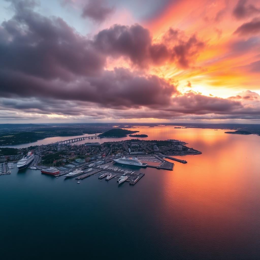
Cruise Ship to Preikestolen: Bus Times, Stops and Timings from Stavanger Port (2026)
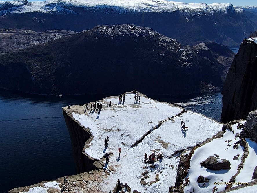
Preikestolen on a Cruise Day: Honest Timing Guide from a Stavanger Local (2026)
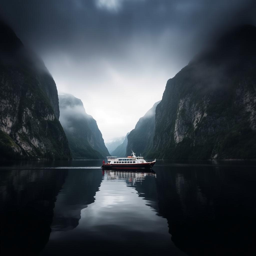
Winter Hike to Preikestolen: What It's Actually Like (Local Guide's Honest Guide)